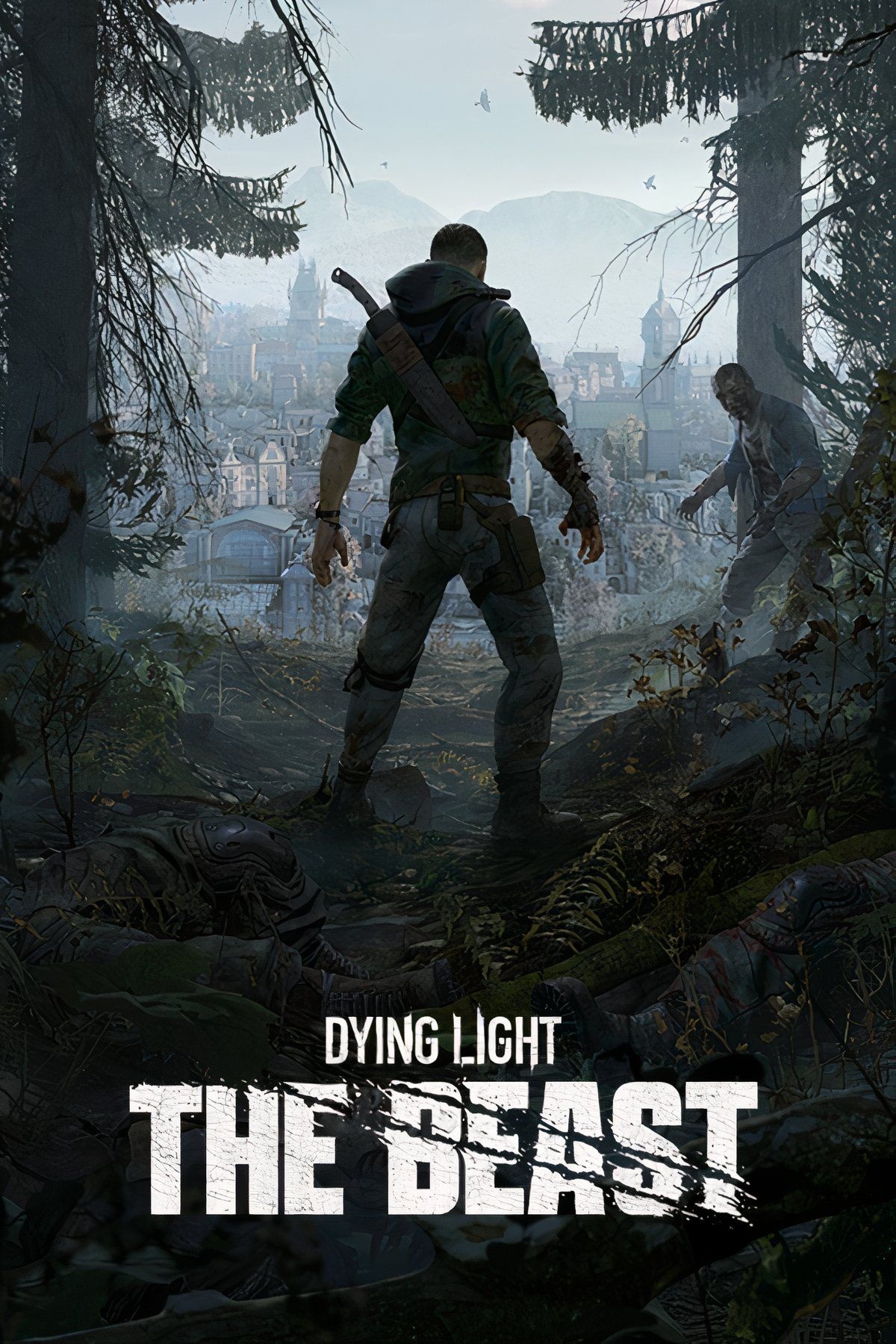
Survive the Western Alps: Dying Light — The Beast Map Reveals Safe Zones, Vehicle Spawns and Hidden Legendary Weapons
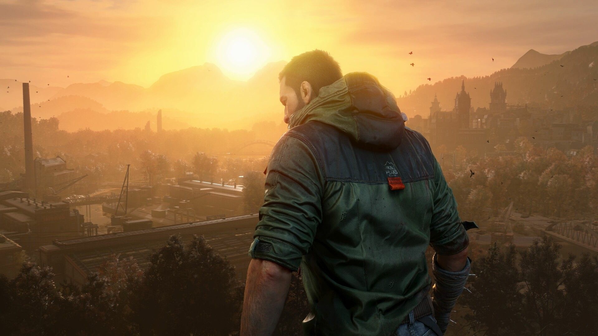
Dying Light: The Beast’s Castor Woods map lays out the Western Alps zone in detail, showing where vehicles, safe zones, side quests and collectibles sit across the region. It highlights practical points — like vehicle spawn locations and marked safe zones — and lists special items such as treasure maps and legendary weapons that change how you play. The map is live and will receive updates as more points of interest are added.
- What you’ll find on the map
- Survival tips and day/night behavior
- Collectibles and activities
- Legendary weapons and throwing
- Map status and updates
Castor Woods map overview
The interactive map covers Castor Woods, a region of forests and small towns in Dying Light: The Beast. It displays multiple categories of points: vehicles, safe zones, substations, convoys, dark zones, and several types of collectibles. Everything shown on the map is meant to help navigation and planning.
What you’ll find on the map
Specifically, the map includes icons for:
 Vehicles — spawn points where you can find cars and other driveables.
 Safe Zones — marked shelters that you should enter before nightfall.
 Substations and side quests.
 Convoys — moving targets that often yield loot.
 Treasure maps and other collectibles.
 Legendary weapons and special items.
 Olivia’s Recordings and
  Fischer Family Newspaper Clippings.
 Castor Woods Beavers and regional curiosities like murals and sigils.
Survival tips and day/night behavior
During the day, the area is dangerous but manageable; however, at night the threat level rises. Therefore, use the map’s safe zone markers and plan to be inside one before dusk. Also, vehicle spawn points are shown, which means you can reach distant locations faster. If you need to escape quickly, find the nearest vehicle and drive — the map marks those locations clearly.
Moreover, convoys and side quest markers (for example, the “Hydro-Puzzle”) often indicate valuable rewards. So, checking those icons can lead to better gear and supplies during daytime runs.
Collectibles and activities
The map lists several collectible types and activities you can track:
- Blueprints and treasure map locations for crafting and extra loot.
- Sigils and murals that tie into exploration objectives.
- Audio logs labeled as Olivia’s Recordings and newspaper clippings connected to the Fischer family.
- Regional fauna markers, such as Castor Woods Beavers, noted for completionists.
Legendary weapons and throwing
Legendary weapons are shown on the map with their own icon. These items are identified as high-tier gear and, notably, they can be thrown. That means you can use them both as melee and ranged options, depending on the situation. Treasure maps on the interactive map frequently lead to locations where legendary weapons or blueprints are found.
Map status and updates
The interactive map is a work in progress and will be updated over time as more points of interest are discovered and added. Accordingly, check the map periodically for new icons and refined locations. The markers you see now are the current set of confirmed points.
In short, use the map to plan daytime runs, note vehicle spawns for quick travel, and enter marked safe zones before night. Finally, follow side quests and convoys for extra loot, and hunt treasure maps if you want legendary weapons.


